Download the NemoScout® companion app free of charge. Click on one of the buttons below to take you directly to the app store for your particular mobile device.
Timely and relevant alerts
The NemoScout® transponder actively monitors the flight path of all equipped aircraft in range and calculates possible intersection trajectories and alerts you up to a minute in advance of a possible conflict.
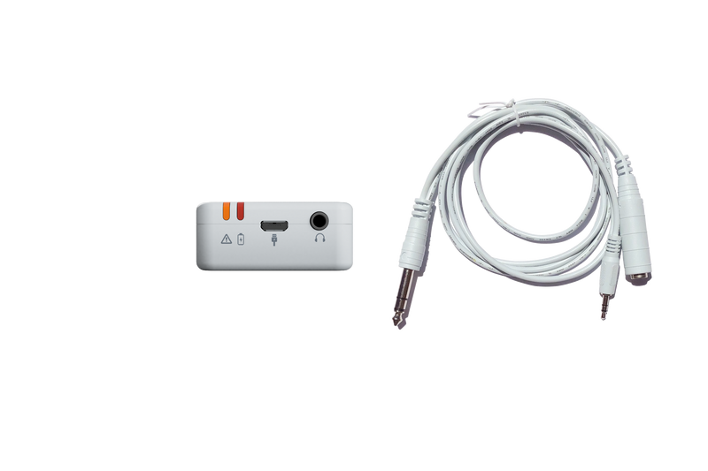
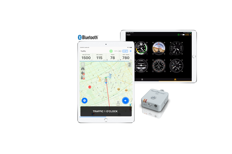
You can use the companion NemoScout mobile app to adjust both en-route and in-the-circuit aircraft clearance distances. You can receive verbal traffic notifications in your headset or visual notifications.

Small but powerful
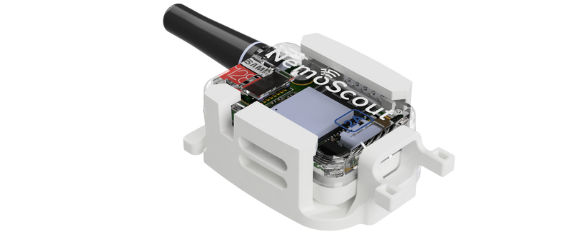
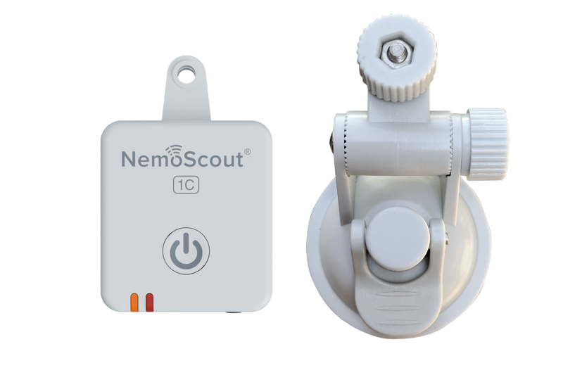
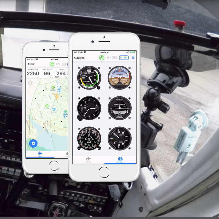
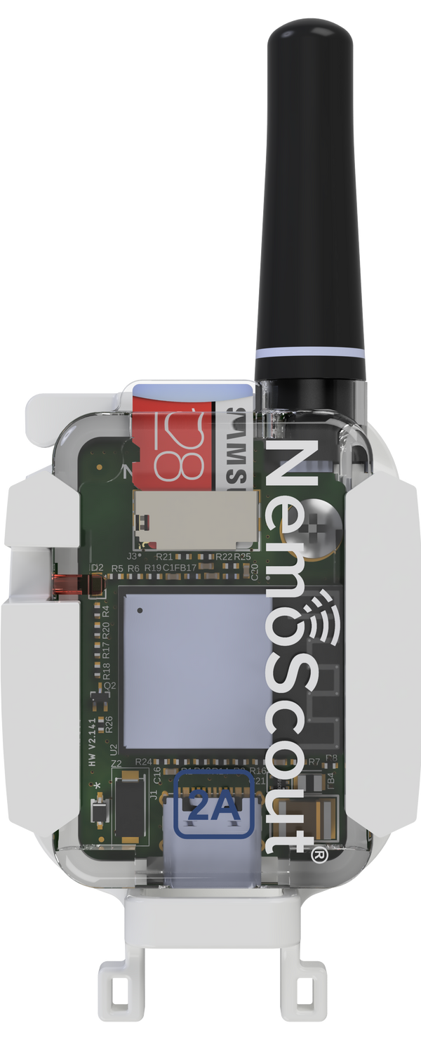
The NemoScout® transponder is small, but feature-rich and powerful. The size of a matchbox, it conveniently and unobtrusively mounts to your windshield using the supplied suction cup or GoPro® compatible swivel mount. It can be installed and removed in minutes.
The NemoScout® transponder provides a built-in precision WAAS GPS, an altimeter and best-in class Attitude Heading Reference System (AHRS). It can be configured to provide altitude callouts, bank angle and steep descent rate alerts as well as obstacle warnings for most man-made obstacles greater than 200ft AGL.

Companion Mobile app
A full-featured mobile app that seamlessly connects to the NemoScout® transponder over Bluetooth Low Energy, provides better situational awareness and helps improve pilot decision-making. The app visualizes nearby traffic, showing direction of travel, altitude difference, descent rate and speed of any conflicting traffic.
The mobile app can also show airspace restrictions as a result of terminal control areas, control zones or non-TFR restricted airspace. Obstacles are clearly presented when operating at an altitude difference of 200ft or less.
The Smarter Way to Fly™
See And Be Seen
-
Active Collision Avoidance
Continious monitoring of other aircraft equipped with NemoScout and most man-made obstacles to determine conflicts long before they can become near misses or mid-air collisions. Provides both visual and in-ear verbal (spoken) alerts.
-
Integrated GPS and Precision Altimeter
Integrated WAAS GPS and precision altimeter provides for an accurate indication of current position and pressure altitude and allows for in-flight altitude callouts.
-
Flight Data Recorder
Best-in-class built-in AHRS and WAAS GPS allows you to record your flight path onto micro-SD, including pressure altitude, heading, track, pitch and yaw in Garmin G1000 compatible file-format. Compatible with flight segmentation and analysis software such as CloudAhoy.
-
Integrated Airport Database
Easily find the four closest airports from your present position with the press of a button. Provides verbal magnetic heading, distance and flight time in order of increasing distance.


